
What Hanford Neighbors Records Can Show
Hanford neighbors are not kept in one public list. A block lookup starts with a parcel, then separates map, title, and resident clues. The free Kings County Parcel Viewer locates nearby polygons, while the county's property information search supplies current assessment candidates. Neither free route is a public owner-name directory.
| Source | What It Shows About a Block | Access |
|---|---|---|
| Parcel Viewer | Adjacent APNs, lots, acres, building details, schools, zoning, flood, and plan layers | Free click-map |
| Public assessor search | Address or APN candidates, current assessment and map information | Free; no owner or ZIP mode |
| Assessor counter or subscriber system | Owner, transfer history, exemptions, situs, values, and brief legal description | In person or paid access |
| Recorder room and microfilm | Prior titleholders, document numbers, parties, and legal descriptions | Public room; copies fee-based |
| Hanford EnerGov | Address-linked permits, licenses, projects, and inspections | Public portal; digital cutover in 2022 |
| Controlled voter file | Registered-voter data for a permitted purpose | Application; not open browsing |
| Sanborn maps | Older building footprints, uses, blocks, and street numbers | Library of Congress sheets; later access varies |
Ownership follows title, not occupancy. A mailing address can be elsewhere, and GIS omits household members, utility customers, and protected addresses. A map identifies the next record, not every neighbor.
Walk a Hanford Block to Find Neighbors
The Parcel Viewer has no configured radius query. The Hanford neighbors method is a careful walk from one address, treating each surrounding parcel as its own trail.
- Enter the address in the viewer's ADDRESS field, or search the twelve-digit APN if it is already known. The address source accepts partial matches and can return up to six suggestions.
- Select the best match, zoom to about 1:1500, close the popup, and pan around the block. Click each adjacent polygon instead of relying on a single map label.
- Record the APN, map book and page, acres, year built, rooms, school district, city or community, and any layer that changes the interpretation of the parcel.
- Carry each APN to the assessor counter or paid system when ownership or transfer history matters. The free map is not the ownership step.
- Use the recorder room for the title trail, and use EnerGov or a focused city request for permits and project records at a selected address.
Keep a worksheet of the starting address, adjacent APNs, parcel facts, and open follow-ups. If the question expands from the immediate radius to every address along a named road, the Hanford by-street directory supplies the broader route.
Read Hanford Neighbors GIS Layers
The Parcel Viewer is a geography tool, not a people search. Its ADDRESS and APN sources accept partial matches, then the map supplies context around the parcel. Boundaries are for assessment information, not a legal survey.
| Parcel identity | APN in NNN-NNN-NNN-000 format, map book/page, township/range, acres, and lot square feet |
|---|---|
| Building fields | Bedrooms, bathrooms, rooms, living area, pool/spa, year built, and stories |
| Community fields | School districts, electric provider, city/community, general-plan category, and sphere of influence |
| Constraint fields | Overlay, zoning, airport zone, soil/septic, irrigation status, FEMA flood, and groundwater agency |
| Layer inventory | County, city, and community boundaries; Lemoore Naval Air Station; Santa Rosa Rancheria; streets; supervisory and reclamation districts; March 2025 fire-hazard zones; flood, irrigation, septic, groundwater, airport, electric, township/range, zoning, general-plan, sphere, school, provisional-flood, closed-road, address, and parcel layers |
Layer List, Measurement, Draw, Print, and basemap tools help mark a rough walk. The popup omits owner, taxpayer mailing address, price, deed image, and ZIP. Attribute Table cannot add an owner field, so a polygon is not a named household.
From a Hanford Neighbor Parcel to Title
Ownership changes at the county counter, not in the free map. Kings County's assessor search is address and APN oriented. The counter or paid Full Online Access system adds current owner, transfer history, exemptions, characteristics, situs, values, and brief legal description. Its Full Online Access explanation describes the expanded route.
Ownership handoff. Address → adjacent APN → assessor owner/history context → recorder grantor/grantee search → deed image on office microfilm.
For title, use the Kings County Clerk-Recorder room or its paid grantor/grantee index. The county says real-estate records and indexes are not openly posted on the internet. A paid index can return document numbers, but recorded documents remain available on office microfilm. The Government Center is at 1400 W. Lacey Boulevard; call 559-852-2470 before a historical visit to confirm book ranges and copy charges.
- APN
- An assessor's parcel number used to connect the map and tax record. It is not always the same as one legal parcel.
- Situs address
- The physical location of the parcel. It differs from the taxpayer's mailing address.
- Legal description
- The lot, block, subdivision, or township and range language that controls land identity when an address changes.
Hanford Block Voter Data for Neighbors
California's My Voter Status tool authenticates the person using it. It asks for first and last name, date of birth, and either a California driver license or ID route, Social Security number last four, or an alternate declaration. It returns that voter's status, location, party preference, language, vote-by-mail or provisional status, polling place or vote center, upcoming election, and county contact. It cannot browse a neighbor or draw an open block list.
A permitted researcher must apply to Kings Elections in person, by U.S. mail, or by courier. Email and fax are rejected. The six-page application asks for the applicant and organization, residence, business and mailing addresses, telephone, specific permitted purpose, data requested and intended use, identification, beneficiary or vendor details, signature, use agreement, and penalty acknowledgement. Statewide pricing is reported as $15 per thousand records capped at $100, while counties may set fees and current Kings line-item pricing needs confirmation.
Government Code section 7924.000 and Elections Code sections 2188 and 2194 control the file. Home address, telephone, email, precinct and registration numbers, prior data, identifiers, and signatures have protected treatment. Confidential voters are omitted; participation history shows an election, date, type, or method, never a ballot choice. CPRA cannot bypass Elections Code. This is controlled data, not an open Hanford neighbors list.
Hanford Neighbors: Permits and Sanborn Sheets
Permit history and map history answer different block questions. Hanford EnerGov carries public planning and permit activity, with all planning applications moving to digital processing in December 2022. Development Services can help when an older case is missing; the older electronic coverage is not published.
Permit trail. Project descriptions, applicants, contractors, inspections, and address-linked licenses can date changes. An applicant or contractor is not proof of occupancy. Sanborn evidence. The Library of Congress Hanford map set helps test footprints, building use, block shape, and street numbers. Used together, a permit can bracket an alteration while a Sanborn sheet can show whether a structure or number existed. Neither source names every neighbor.
Hanford editions are cataloged for 1885, 1888, 1891, 1892, 1898, 1905, 1913, 1925, and 1950. The February 1888 set has three public-domain sheets; later access varies. For a missing city permit, request an existing address-and-date record from the Hanford City Clerk's public-records channel by email, mail, fax, telephone, or counter. Ask for an existing record series, not a new resident report.
The Hanford Civic Directory Gap
Hanford's city resource directory searches by alphabet, Category, Name, and Search, with ten-result pages. It includes Hanford Rotary and selected churches and agencies, not household or member rosters. No authoritative Hanford HOA/neighborhood umbrella directory was located. Do not invent an association or substitute a commercial roster for a missing civic source.
China Alley Preservation Society. Its history near Seventh and Green supplies names, institutions, and occupations for older-block research, not a current resident list. Carnegie Museum. Virtual oral histories and Asian, Portuguese, local-government, and building exhibits add community memory without claiming current membership.
Historical Society. Kings County Historical Society at 14060 Hackett Street, Hanford, 559-772-9334, states a preservation mission but publishes no finding aid, research fee, or appointment hours. Chamber contact. The Chamber is listed at 113 Court Street, Suite 104, 559-582-0483, info@hanfordchamber.com; current member-directory behavior was not verified.
The Carnegie Museum's Hanford history resources and local historical organizations can resolve a name or institution clue. Around 1920, China Alley had roughly 600 Chinese settlers and about 20 Chinese-owned businesses, with stores, boarding houses, laundries, schools, and the 1893 Taoist Temple recorded in local history. These are search terms, not proof that a present-day neighbor belongs to a group.
The China Alley community history source helps when an older address changed names or uses. Its institutions can connect a block to a newspaper notice or image, while current parcels and title records still require county custodians.

The China Alley image preserves the community-history angle without turning a curated exhibit into a present-day roster. Check names against the address, date, and source type before treating them as block clues.
Privacy Boundaries Around Hanford Neighbors
Official and commercial categories are not interchangeable. Official maps and custodians state what a record means and where it came from. Commercial neighbor tools may combine public fragments, old addresses, and uncertain matches behind an account or fee. They can be stale, so they are not a substitute for the county map, recorder, city clerk, or a lawful community source.
| Source category | Best use | Boundary |
|---|---|---|
| Official parcel and GIS | APNs, adjacent geometry, structures, districts, and current map context | The free map omits owner and household fields |
| Official custodian | Title, permits, or a controlled voter file | Access limits and redactions travel with the record |
| Commercial category | May compile mixed sources and offer an opt-out | It does not create authority for a claim about a neighbor |
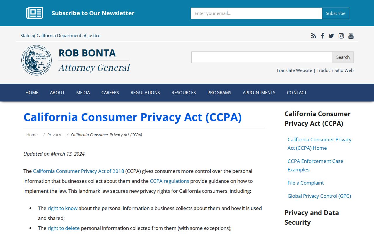
California privacy rights can reach business-held data. The California CCPA guidance describes access, deletion, correction, opt-out, sensitive-data limits, and nondiscrimination rights. Those rights do not turn a public parcel map into a private-person directory. Use the custodian's correction or redaction process when a government record is wrong.
The California CCPA guidance image shows the business-data layer, separate from the Kings County parcel map.
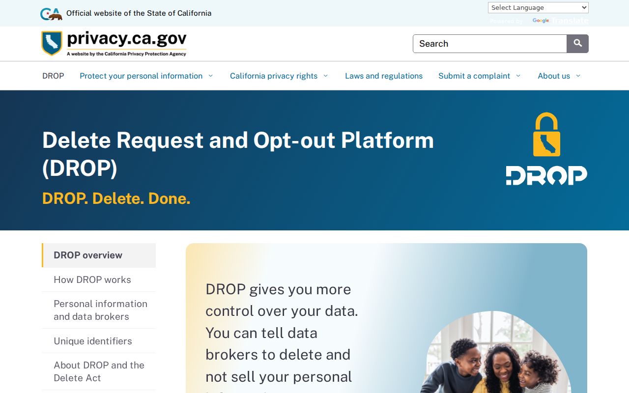
California's Delete Act created DROP, which lets a resident submit one deletion request across registered data brokers. It uses California Identity Gateway or Login.gov, matching identifiers, and an eight-digit request ID; registered brokers began processing on August 1, 2026, at least every 45 days.
The DROP system image shows the statewide deletion layer. Publicly available, first-party, and exempt data may remain, so it does not change an official APN or deed.
The California data-broker registry identifies the registered-broker side of that process. It is not a Hanford directory or proof that a compiled result is authoritative.
Qualifying people may use California's Safe at Home program for a substitute address, mail forwarding, an authorization card, and confidential voter registration. It does not bind every private business, and ordinary participants have a current $30 nonrefundable application fee. No image is used because its assigned capture failed.
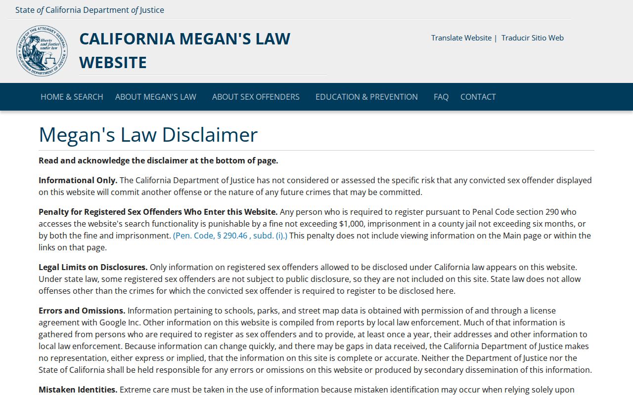
California Megan's Law is a separate official registry with name and map or address-area modes and statutory warnings. It is not a general neighbor list. Read the California Megan's Law information, and never use a registry to watch or intimidate anyone.
The Megan's Law information page image represents a narrow registry, not proof about a household or permission to infer private facts from a map.
Lawful use. Hanford neighbor research is for personal, lawful purposes such as understanding a block, reconnecting with someone, or basic safety awareness. California prohibits stalking, harassment, intimidation, impersonation, and misuse of controlled voter data. Stop when a record is protected, sealed, confidential, or not relevant to a legitimate personal question.