
Tracing the Hanford Street Directory by Address
An address search in Hanford works best as a chain, not a single name box. Start with a street number and a partial street name in the Kings County assessment search. The free result can point to an APN and a current assessment candidate, but it is not a public owner-name list. The county Parcel Viewer then lets a reader select the same address, inspect nearby polygons, and compare physical and planning fields. Ownership requires the assessor's counter or subscriber route. The recorder connects an owner to prior title parties. Historical Polk books and newspapers add people who occupied an address in earlier years. A street result is strongest when each source agrees on the same parcel, date, and legal description.
- Start with the address. Use the Kings County property information page or its current assessment form. Try a partial number and street name before adding more detail.
- Locate the parcel. Open the Kings County Parcel Viewer, choose the suggested address, and record the APN. Pan along the same street and click each polygon that belongs to the segment.
- Separate voter verification from a public directory. California My Voter Status verifies the searcher's own registration. A voter file for a permitted purpose requires a controlled application through Kings Elections, so it cannot be used as an open street browser.
- Carry the APN to title records. Ask the assessor counter or paid system for owner, transfer, and legal-description context. Then carry the party name and document clues to the Kings County recorder room or its paid grantor-grantee index.
- Turn to older address evidence. Use a Polk reverse or street section for a named householder, check the alphabetical entry, then compare census, newspaper, deed, probate, and Sanborn evidence. A past name is a clue, not proof of present residence.
The working chain is simple: address to APN, APN to parcel map, parcel to owner-level access, owner to deed parties, and street number to historical householder. Keep the record date beside every result. A current parcel, a past deed, and a directory entry from another year can all be true without describing the same resident at the same time.
Search Hanford Parcels with the Assessor
Kings County's free Megabyte assessment form is the first practical stop for a Hanford address search. It searches current-tax-year assessment data by fee parcel, assessment, or street address. The form does not offer an owner-name or ZIP mode. For a street, the county advises a partial search, often a house number plus a direction, or a number, direction, and street name without the suffix. Use N, E, S, or W when those letters are part of the address, and leave off Street, Road, Drive, or Lane.
The actual Kings current assessment form exposes the following fields. For the Hanford street directory, those fields are the address-to-APN handoff rather than a final resident result:
| Field label | Type | Required | Options or format notes |
|---|---|---|---|
| SEARCH BY | Dropdown | Yes | FEE PARCEL is the default; ASSESSMENT, STREET ADDRESS, BOAT CF#, and AIRCRAFT TAIL# are also offered. |
| Dynamic search value | Text | Yes | Minimum 2 and maximum 20 characters. Address help favors a partial number, direction, and name without a street suffix. |
| Search | Action button | Run the query | Cancel is also shown. A result is an assessment lead, not a public owner directory. |
Here is the Hanford address-search view of the Kings current assessment form, including the route that begins the parcel trail.
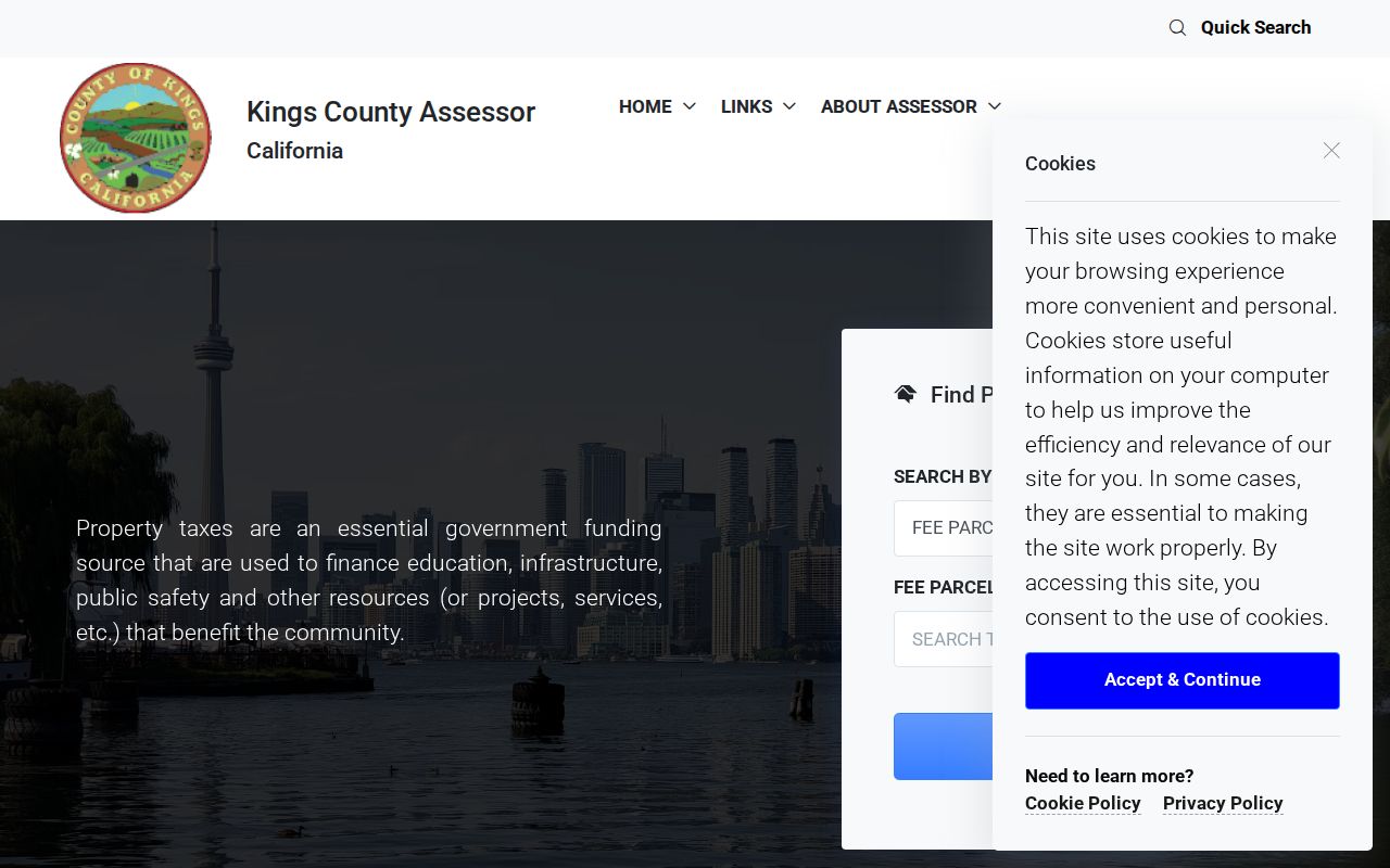
The form helps narrow a street, but the next step is the APN. If a free search leaves several candidates, compare the map, situs, and physical fields rather than treating the first row as a confirmed person.
ParcelQuest Lite supplies another current secured-roll and map route. Its research record describes a free allowance of 50 searches and 25 maps each month, with paid reports or images. It still does not turn the free Hanford address route into an unrestricted owner-name export.
That ParcelQuest Lite search view for Hanford address research shows why address and APN are the useful starting keys.
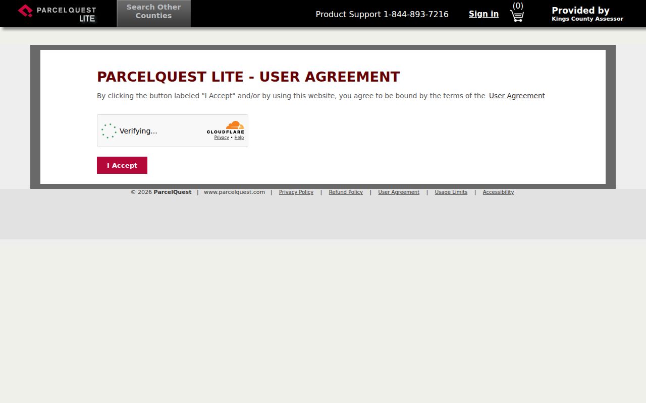
Use the free route for parcel discovery. Move to the assessor counter or paid Full Online Access when the question requires ownership, transfer history, exemptions, characteristics, taxes, values, or a brief legal description.
Walk a Hanford Block in Parcel Viewer
The Kings County Parcel Viewer turns one address into a street-level map. Its Address_Public_view query accepts an address, while the Parcel view accepts an APN. Both support partial matching, return up to six suggestions, and zoom to about 1:1500. Select the right match, close the popup, and pan or click around the street. Repeat the process for each APN that touches the block. The map is free and useful, but it is an assessment-information map, not a legal survey or owner index.
A selected parcel can expose a dense set of fields that a name search cannot. The popup may include:
- APN, map book and page, township and range, acreage, lot square feet, and living area.
- Bedrooms, bathrooms, rooms, pool or spa, stories, and year built.
- School districts, electric provider, city or community, general-plan category, and sphere of influence.
- Zoning, airport and overlay zones, soil or septic data, irrigation status, FEMA flood information, and groundwater agency.
Layer List can reduce clutter. An aerial basemap helps compare a building footprint with the map, while Measurement and Draw can mark distance, a line, or a rough area. The map has no configured owner layer, buffer query, taxpayer mailing address, price, deed image, or ZIP field. The Attribute Table does not restore fields the public map intentionally omits.
For a Hanford address search, write the APN and map book or page beside the address, then use those keys in the assessor and recorder channels. This prevents a nearby parcel with a similar number from entering the same record chain.
Hanford Address Terms That Change the Search
Address records use several keys for the same land. They do not carry the same meaning. A clear address note labels each key before a deed, map, tax result, or historical book is compared with another source.
- APN
- The Kings County assessor parcel number, normally shown in a twelve-digit form such as
000-000-000-000. One APN can cover multiple legal parcels or portions, and one legal parcel can have more than one APN. - Situs address
- The physical location of the parcel. Modern Kings County real-property instruments use the current APN and commonly known situs street number and name on the first page.
- Mailing address
- The address used to send tax statements to the taxpayer. It can point to an absentee owner, but it does not prove that the taxpayer lives at the parcel.
- Plat
- A subdivision map that supplies lot and block context when an older instrument uses a legal description instead of a current street number.
- Criss-cross directory
- The street-order or reverse part of a Polk book. It turns an address into a named householder, but it does not list every person who shared the address.
Historic instruments may rely on lot, block, township, or range when a modern street number is absent. Legal description controls land identity. APN and street name are strong bridges, but neither should stand alone when an address has been changed or a parcel has been split.
Hanford Street Directory Records by Source
Hanford address evidence is spread across offices with different access rules. The coverage table below shows what each source can add to a street search and where the trail must move when a free screen stops.
| Record set | Keeper | Street clue | Access |
|---|---|---|---|
| Current assessment search | Kings County Assessor | APN and current assessment candidates from an address; no owner or ZIP mode | Free current-year address/APN search; counter or subscriber data for owner and history |
| GIS parcel map | Kings County GIS | Adjacent geometry, building fields, districts, zoning, flood, and school layers | Free Parcel Viewer; no owner, mailing address, deed, or ZIP field |
| Deeds and liens | Kings County Clerk-Recorder | Grantor, grantee, document number, APN, situs, and legal description | Office room and microfilm; paid Full Online Access index; copies follow the current schedule |
| Voter file | Kings Elections and California SOS | Permitted-purpose registered-voter data, with protected voters omitted | My Voter Status for self-check; controlled application for an allowed purpose |
| Permits and licenses | Hanford Development Services | Address-linked work, applications, inspections, and business-license activity | EnerGov public portal from December 2022; staff or CPRA request for existing older records |
| Tax inquiry | Kings County Tax Collector | Secured tax, delinquency, redemption, or fee-parcel status | Public Inquiry or telephone route by fee parcel or address |
| Reverse directories | Kings County Library and regional libraries | Historical street number and named householder | Library shelf, Tulare Genealogy Room, State Library tools, or subscription/library access |
| Sanborn maps | Library of Congress and libraries | Older footprint, use, block, and street number | Free public-domain sheets for the 1888 set; later access varies |
The sets chain in a fixed order. The assessor or GIS map supplies the parcel key. The assessor counter or subscription supplies owner context. The recorder supplies the title parties and legal description. EnerGov can date work, while Polk books and newspapers can identify past householders. This street directory chain is strongest when each date and source type remains visible. A voter file may support a permitted analysis, but it is not an open name-to-street search. No single row answers who is present today.
Carry a Hanford APN to the Recorder Counter
Kings County has an important access limit: the official Clerk-Recorder page says its real-estate records and indexes are not publicly available on the internet. A blank web search therefore does not mean a deed is missing. Start with the free address or APN tools, then move to the Government Center at 1400 W. Lacey Boulevard. The Clerk-Recorder can be reached at 559-852-2470. The office lists Monday through Friday, 8 a.m. to 5 p.m., with recording commonly handled 8 a.m. to 3 p.m. and certificates or other requests 8 a.m. to 4 p.m.
Public viewing uses the office access room and microfilm. The paid Full Online Access system contains a recorder grantor-grantee index and document numbers, while recorded documents remain available on office microfilm. Subscription applications require original signatures and are handled at the office. Fax, email, and online submission are not accepted; correct applications are normally activated within three business days, billing is annual, and assistance is available at 559-852-2485. Call before a historical search to confirm the index or book range and current copy charge. If a visit is not possible, ask the Clerk-Recorder about a written search or copy request and the records needed to process it.
Modern recording practice creates a useful address bridge. The county guide calls for the current APN and commonly known situs street number and name on the first page of a real-property instrument under county ordinance section 22-73(d). A tax-statement mailing address is a separate field. Modifications and releases identify the affected parties, county, original document number or book and page, and recording date. A deed image can then be read for the recorder label, document number, party names, APN, situs, execution and recording dates, and legal description.
Note: An address trail should treat the recorder counter and office microfilm as the primary deed route for Hanford, not an unofficial web index.
Read Old Hanford Streets in Polk Books
R. L. Polk reverse books add the historical household layer to a Hanford address trail. Verified Hanford, Corcoran, and Lemoore editions include 1948, 1953, 1958, 1963, 1969, 1974, 1981, 1986, 1991, and 1994. Later regional holdings include Tulare/Kings 1997, Kings County 1999, and Hanford 2000. A Hanford-Corcoran-Lemoore run for 1967, 1970, 1978, 1986, and 1991 includes Armona and is documented at the Tulare Public Library Genealogy Room.
The Hanford Branch is the first call for the local shelf, but it is in temporary quarters at 110 S. 11th Avenue during renovation. Call 559-852-4001 before a visit because the library has not said which local-history shelves moved. Listed temporary hours are Monday through Thursday, 9 a.m. to 6 p.m., and Friday and Saturday, 9 a.m. to 1 p.m.; the permanent branch is scheduled to reopen in early 2027. The Kings County Library research hub, California State Library directory database, and digitized U.S. city directories through a subscription or library provide fallback channels. The Hanford FamilySearch Center at 2400 N. 11th Avenue, 559-582-8960, is free and open to all, but it does not answer mail inquiries.
A reverse section answers address to householder. The alphabetical section then helps test the name, spouse notation, address change, and any cross-reference. Work from the nearest verified edition, then compare earlier and later books. A first appearance brackets an arrival, while a disappearance may reflect a move, death, an omitted household, or an irregular publication year. The 1950 census is a useful public comparison for the 1948 and 1953 books. Newspapers, probate, vital records, and deeds can separate a directory clue from a title fact.
The exact Hanford entry sample was not available for inspection because the digitized images were behind a subscription wall. Period Polk conventions may use marks such as h, r, wid, or rem, but the abbreviation key in the specific volume should be checked before any mark is interpreted.
Use Hanford Permits to Date Street Changes
Permit records add a work history to a Hanford address trail. The Hanford EnerGov Citizen Self Service portal connects address-linked planning, building, inspection, and business-license activity. The city's planning system became fully digital for applications in December 2022. A permit applicant or contractor is evidence of a project record, not proof that the applicant lived at the address. Older electronic coverage is not published, so a missing result needs a staff check.
The Hanford permit and license search view shows the public landing route used for address research.
Development Services can be reached at 559-585-2581, Planning at 559-585-2580, and the Building Official at 559-585-2584. When the portal or a staff search cannot locate an older file, the Hanford City Clerk is the CPRA fallback at 319 N. Douty Street, 559-585-2515, cityclerk@hanfordca.gov, or fax 559-585-2595. The request form accepts the requester's name, date, address, email, telephone, company, and a specific description of documents. It may be sent by email, fax, mail, telephone contact, or counter delivery.
Ask for an existing permit index, inspection record, code case, or license record by address and date range. The City Clerk need not create a new report or research a person. A focused request also helps when an annexed parcel moved between county and city custodians. The screenshot above is a route into the system, not a claim that every older Hanford permit is online.
Bridge Hanford Addresses Through Time
Postal geography can blur a Hanford street record. USPS identifies 93230 for street delivery and nearby county territory using the Hanford mailing city, while 93232 is used for Hanford post-office boxes. Both routes pass through the Hanford Post Office at 517 N. Irwin Street, 559-582-5374. Listed hours are Monday through Friday, 8:30 a.m. to 4:30 p.m., and Saturday, 9 a.m. to 1 p.m. Use the USPS city and state lookup to verify a mailing ZIP, then search the parcel by street or APN. No local assessor or GIS portal provides a ZIP-wide owner result.
Hanford has six substantially surrounded county islands. A county island may use the Hanford postal city while the county retains policing, permits, zoning, and elections until annexation. A ZIP label or the word Hanford therefore does not prove municipal jurisdiction on the record date. For an older address, retain the city and county source names beside the result.
The city's annexation material says county-style addresses are typically five digits and city-style addresses are typically four. When a number changes, the city notifies the owner and post office, but the ZIP may stay the same. Bridge both forms with the APN, legal description, subdivision lot and block, and township or range. The research did not locate a verified citywide renumbering year or formal E911 address-assignment policy, so a clean before-and-after date should not be invented.
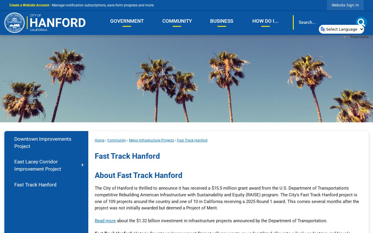
Hanford street records also change as public projects reshape corridors. The Fast Track Hanford project record describes a $15.5 million federal RAISE award connecting historic downtown, Amtrak, the Civic Center, China Alley, and the KART station. That project page can help identify later right-of-way, parcel, and cultural-resource records when a street search crosses the project area.
This Hanford street records view of the Fast Track corridor project illustrates why a current map and an older address may not describe the same street edge.
Hanford's record history adds another caution. Downtown fires on July 12, 1887 and June 19, 1891 changed buildings and business addresses, and the latter helped drive incorporation. No official source says government record books were destroyed. Kings County formed in 1893, so a pre-1893 land trail belongs under Tulare County; a pre-1909 border property may also raise a Fresno predecessor question.
Where the Hanford Street Directory Ends
A Hanford address record chain can locate a parcel, show current assessment clues, connect title parties, date permitted work, and identify a historical householder. A Hanford street directory can organize those clues, but it cannot prove every person who is at an address today. The public GIS omits owner and mailing data. Ownership does not establish who else lives there. Utility customer records and DMV residence data are not public directories, and protected addresses may be suppressed.
California My Voter Status authenticates the person using the form; it cannot browse another person's name or a block. A permitted Kings voter-file request must identify the applicant, residence or business address, organization, lawful purpose, intended use, data requested, identification, payment, signature, and use agreement. It must be sent in person, by mail, or by courier. Email and fax are rejected. Home street address, telephone, email, precinct and registration numbers, prior registration data, driver's license or ID number, Social Security number, unique identifier, and signature receive statutory protection. Confidential voters are omitted. Historic registers and poll books were not found in a published Kings finding aid, so older material should be requested from Elections, county or State Archives, the library, or the historical society.
Lawful personal use. Hanford street and address records may support family history, property research, heir work, or civic curiosity. Do not use a street trail to stalk, harass, intimidate, or harm anyone. California Elections Code section 18109 makes knowing unauthorized use or acquisition without section 2188 compliance a misdemeanor.
When the question changes from a whole street to one person, keep the address evidence and use the appropriate custodian rather than guessing from a map. A careful Hanford street directory search records what a source shows, what it omits, and the date on which it was true.